
Silt-Capped Rhythmites at Old Lady Canyon, WA
- Feb 21, 2018
- 3 min read
Updated: Jan 1, 2024
The publication of Richard Waitt's paper describing the stratigraphy of Burlingame Canyon in 1980 opened up a can of worms. In particular, a disagreement among geologists over the nature of the thin, silty layers at the tops of some Missoula flood rhythmites in certain exposures.
"Are silty tops indicative of deposition by wind or quiet water?"
WIND OPTION -- If the silt was blown in by wind, then surfaces between floods were dry and exposed. A significant period of time must have passed between floods with windblown tops since the floodwaters had time to drain away. Thus, each rhythmite represents a single flood event.
WATER OPTION -- If the silt was deposited by settling through a column of standing water, then the landscape remained wet between flood events. If the silt is water-laid, then the argument could be made that little time passed between flood events and that some rhythmites might record surges within a single flood.

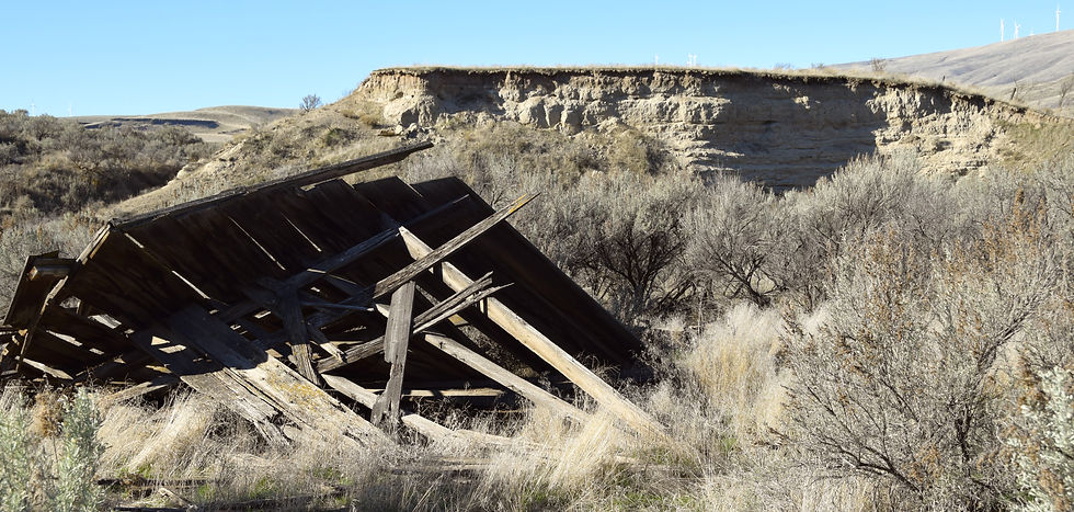
One of the best locations to examine silt caps on rhythmites is in Old Lady Canyon on the west side of the Columbia Gorge near Roosevelt, WA. Conspicuous light-colored silts with distinctive vertical fractures cap successive Touchet Bed rhythmites at an outcrop that is easy to access and mostly out of the public eye. Seeing the fine-scale sedimentary features within a silt cap is crucial to determining their origin. Take a makeup brush with you.

Nine silt layers cap a stack of fine-grained rhythmites at Old Lady Canyon. The repetition and similar thickness suggests that all are water-lain. There's an oxidation and mottling overprint throughout. This drainage was recently swept by some huge floods (1964?). I suspect the mottling is a recent modification, based on the height of the pre-flood alluvial fill surface.
In the years following Waitt's publication, numerous workers confirmed through several lines of evidence (varves, burrows, mottling, roots, charcoal, etc.) that scabland floods were separated by significant periods of time, often decades. Therefore, the larger question is now settled: windblown silt caps are possible (if difficult to see) and water-laid silt caps are common. Waitt (1985) finds loess and ash caps on rhythmites at Mabton, an outcrop which is now covered.
However, consider the plight of the junior geologist put on the spot by his superiors. If asked to show evidence of wind vs. water at a given outcrop, he may find the challenge is as thorny as ever. How to proceed?

Get one of these brushes and see what you can uncover.
After doing field work all over the Columbia Basin for the past 20 years, I am convinced very, very few geologists leave the roadside or visit out-of-the-way places they've not already heard of, like this one. Admittedly, fear of being shot by the landowner or being arrested in front of students is inconvenient, but these are stochastic events and, therefore, should not influence your planning. Field Geologists were put on Earth to visit outcrops. Climb the outcrops and get their good tidings. Be bold. You will not likely have a second chance to return to this spot. I prefer to make discoveries the old fashioned way: on foot. Fencelines be damned. The key is going early in the day. And if wimpyness still overwhelms, you can always just knock on the front door. People like geologists and will nearly always let you hike around their property.


